
ProStar Hires Matthew Breman as VP of Marketing

ProStar announced today that the company has hired Matthew Breman as the company’s new Vice President of Marketing. Mr. Breman will be responsible for managing critical marketing strategies for ProStar, including ProStar’s cloud and mobile Precision Mapping Solutions™. The addition of Mr. Breman to the ProStar team will be crucial to accomplishing the company’s vision, […]
Trimble Announces Partnership with ProStar
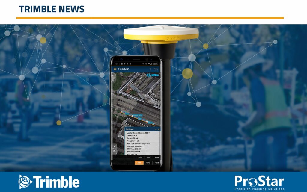
ProStar Joins Trimble’s GIS Business Partner Program to Define the Next Generation of Utility Mapping Trimble GNSS Integrates with PointMan Field Applications to Identify, Capture and Record the Precise Geospatial Location of Utilities SUNNYVALE, Calif., July 8, 2020—Trimble (NASDAQ: TRMB) announced today that ProStar has joined Trimble’s GIS Business Partner Program. As part of the program, […]
ProStar CEO Presents at Mapping the Underground Event

In his encore presentation for ConnectMii’s Mapping the Underground event, Page Tucker, CEO, ProStar, discusses how the vast network of roads, highways, and bridges that spans our nation is aging and in serious need of replacement and expansion. In the United States alone, approximately 2.5 million miles of paved roads and highways are relied on […]
CDOT Shares Their Success Story

Rob Martindale, PLS – Utilities Program Manager, Colorado Department of Transportation (CDOT), discusses how C.R.S. 9-1.5-101 (811 Law) impacts management of utility data, including 5G facilities, within State Highway Right-of-Ways. In particular, he discusses how permitted utilities are leveraging a new cloud and mobile utility mapping system and how it enables CDOT to efficiently gather […]
ProStar’s “Tax Holiday” Extended 4 More Years
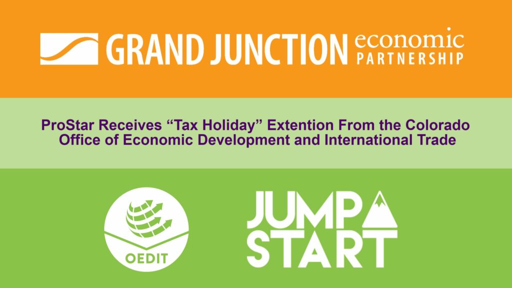
Jump-Start “Tax Holiday” Extended, ProStar Receives 4 More Years FOR IMMEDIATE RELEASE (June 25, 2020 | Grand Junction, CO) – The Grand Junction Economic Partnership (GJEP) congratulates ProStar (previously ProStar Geocorp) for earning a four-year extension on its Rural Jump-Start tax incentive, which provides eligible businesses with expansive tax credits in the State of Colorado. The provider of […]
PointMan Mobile App Integration with Trimble GPS / GNSS Systems and Trimble Catalyst GNSS Subscription Services

Summary The Trimble Precision SDK (TPSDK) is an application interface that allows developers to integrate Trimble hardware technology into their own software integrations. It is designed to provide a set of lightweight components suitable for field collection applications. The developer can choose the desired functionality based on the collection program’s needs. The target applications for […]
ProStar Granted Another Major US Patent

ProStar, the World Leader in Developing Precision Mapping Solutions, Has Been Granted Another Major U.S. Patent GRAND JUNCTION, Colo.–(BUSINESS WIRE)–United States Patent No. 9,619,573, prepared and prosecuted by Lewis Roca Rothgerber Christie LLP, one of nation’s leading intellectual property law firms, has been granted to ProStar™. The issued patent covers a computer implemented method for […]
Centerline Mapping and ProStar Partnership

Centerline Mapping Selects ProStar’s PointMan for Their Utility Mapping Educational Training SMITHFIELD, Va.–(BUSINESS WIRE)–Centerline Mapping and ProStar™ have partnered to offer a powerful educational platform that provides students professional level courses with an in-depth focus on capturing the precise location of underground utilities. Centerline Mapping is an industry leader in providing utility mapping […]
ProStar’s CEO Presents at Asset Mapping Exchange

Page Tucker, CEO, ProStar, discusses how the vast network of roads, highways, and bridges that spans our nation is aging and in serious need of replacement and expansion. In the United States alone, approximately 2.5 million miles of paved roads and highways are relied on daily to support the nation’s commerce and commuting demands. What […]
The Next Generation in Utility Mapping

Trimble and ProStar have partnered to make a new utility mapping solution. Trimble provides industry-leading GPS/GNSS solutions that meet a wide variety of data collection requirements and project needs while ProStar offers the cloud and mobile data collection application that pairs seamlessly with Trimble tools. Read the full Trimble white paper about how two DOTs […]