
ProStar Launches TracksAI, An AI Driven Real-Time Analytics, Performance, and Quality Control Reporting Module
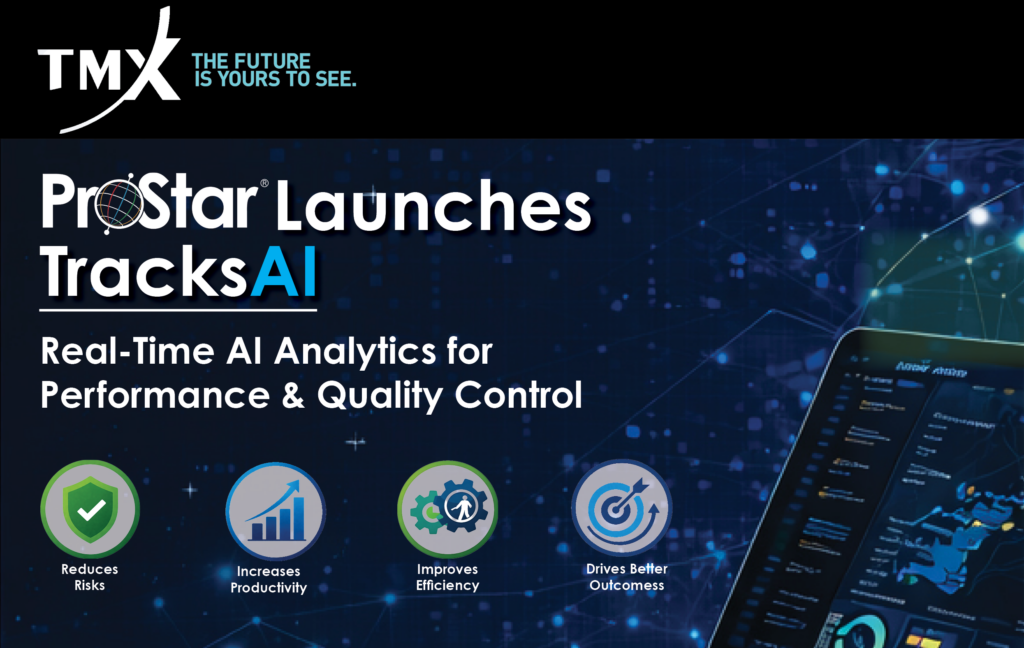
ProStar Launches TracksAI, An AI Driven Real-Time Analytics, Performance, and Quality Control Reporting Module
Fluke Launches SmartTrace with PointMan For Safer, More Accurate Asset Tracking and Management

Fluke Launches SmartTrace with PointMan For Safer, More Accurate Asset Tracking and Management
Prostar Announces Closing of Convertible Debenture Financing

ProStar Holdings Inc. is pleased to announce that the Company has closed its previously announced non-brokered private placement of secured convertible debentures of the Company in the aggregate principal amount of US$675,000.
ProStar Announces Upsizing of Convertible Debenture Financing

ProStar has upsized its previously announced non-brokered private placement of secured convertible debentures of the Company (from the previously announced principal amount of US$500,000 to an aggregate principal amount of up to US$675,000.
Prostar Announces Convertible Debenture Financing

ProStar intends to complete a non-brokered private placement with a director of the Company of secured convertible debentures of the Company”) in the principal amount of up to US$500,000.
ProStar and Tersus GNSS Announce Partnership to Deliver Precision Mapping Solutions to the Utility Industry Worldwide

The partnership is designed to integrate Tersus’s survey-grade GNSS receivers with ProStar’s PointMan, providing an affordable, field-ready solution available through Tersus’s international distribution network. Tersus GNSS has operations in China, the United States, and Australia, and is recognized for its innovation in GNSS receiver and base station technology for high-precision positioning applications.
ProStar Announces The Addition Of GroundBreakers Utility Management Company To Its Growing List Of Enterprise Clients

This alliance integrates Premium Positioning’s advanced RTK Premium multi-network service with ProStar’s PointMan and LinQD platforms to deliver a unified precision mapping and data exchange ecosystem for the infrastructure and utility sectors. Together, the companies will provide real-time, high-accuracy location intelligence across Europe, North America, Latin America and Australia, enabling seamless data capture, mapping, and visualization for critical infrastructure.
ProStar and Premium Positioning Form Strategic Alliance to Extend Delivery of High-Precision Mapping and Real-Time Geospatial Intelligence Globally

This alliance integrates Premium Positioning’s advanced RTK Premium multi-network service with ProStar’s PointMan and LinQD platforms to deliver a unified precision mapping and data exchange ecosystem for the infrastructure and utility sectors. Together, the companies will provide real-time, high-accuracy location intelligence across Europe, North America, Latin America and Australia, enabling seamless data capture, mapping, and visualization for critical infrastructure.
ProStar and Bad Elf GNSS Announce Global Distribution Partnership
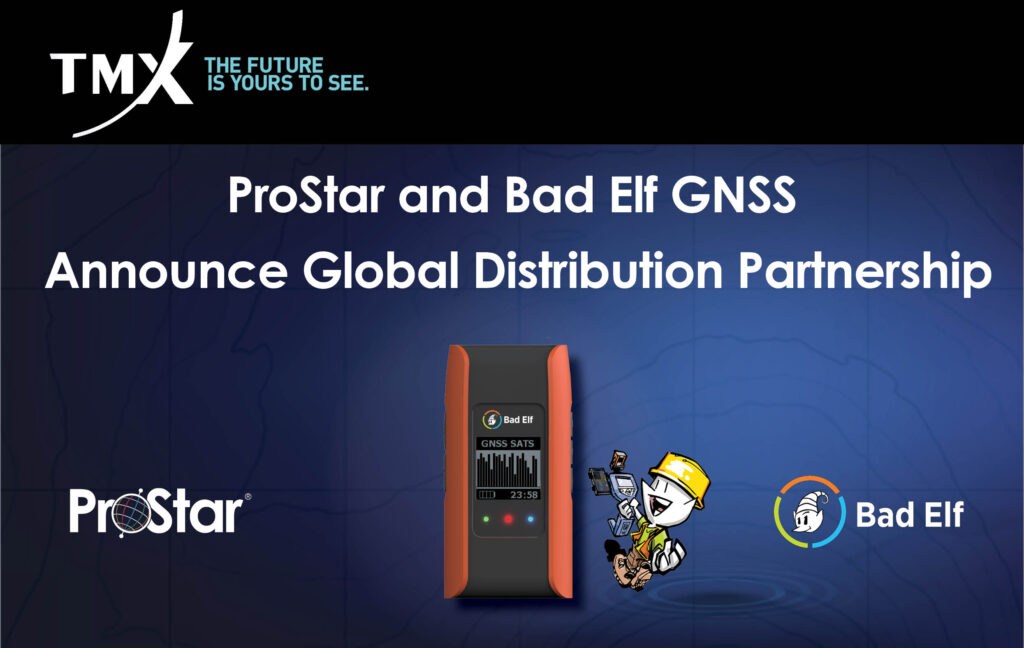
This strategic partnership expands the market reach of both companies and directly addresses the growing demand for a complete mapping solution in the utility and critical infrastructure industries. By combining Bad Elf’s advanced GNSS receivers with ProStar’s patented precision mapping solution, utility owners, contractors, municipalities, and engineering firms are able to capture, record, and visualize the precise location of critical infrastructure at a low cost and with a complete solution.
ProStar Geocorp Launches LinQD: A Next-Generation Data Exchange Platform for Critical Infrastructure
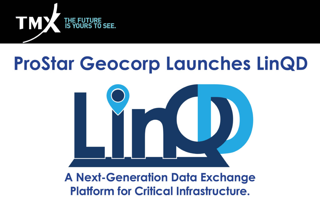
Over decades of operating, many large construction companies, utility owners, municipalities, and transportation agencies have accumulated multiple systems of record and other applications that store and manage information critical to their operations. This has created data siloing and the inability to easily access and share mission critical data with the field or office operations.