
ProStar’s “Tax Holiday” Extended 4 More Years
Jump-Start “Tax Holiday” Extended, ProStar Receives 4 More Years FOR IMMEDIATE RELEASE (June 25, 2020 | Grand Junction, CO) – The Grand Junction Economic Partnership (GJEP) congratulates ProStar (previously ProStar Geocorp) for earning a four-year extension on its Rural Jump-Start tax incentive, which provides eligible businesses with expansive tax credits in the State of Colorado. The provider of […]
PointMan Mobile App Integration with Trimble GPS / GNSS Systems and Trimble Catalyst GNSS Subscription Services

Summary The Trimble Precision SDK (TPSDK) is an application interface that allows developers to integrate Trimble hardware technology into their own software integrations. It is designed to provide a set of lightweight components suitable for field collection applications. The developer can choose the desired functionality based on the collection program’s needs. The target applications for […]
ProStar Granted Another Major US Patent

ProStar, the World Leader in Developing Precision Mapping Solutions, Has Been Granted Another Major U.S. Patent GRAND JUNCTION, Colo.–(BUSINESS WIRE)–United States Patent No. 9,619,573, prepared and prosecuted by Lewis Roca Rothgerber Christie LLP, one of nation’s leading intellectual property law firms, has been granted to ProStar™. The issued patent covers a computer implemented method for […]
Centerline Mapping and ProStar Partnership

Centerline Mapping Selects ProStar’s PointMan for Their Utility Mapping Educational Training SMITHFIELD, Va.–(BUSINESS WIRE)–Centerline Mapping and ProStar™ have partnered to offer a powerful educational platform that provides students professional level courses with an in-depth focus on capturing the precise location of underground utilities. Centerline Mapping is an industry leader in providing utility mapping […]
ProStar’s CEO Presents at Asset Mapping Exchange

Page Tucker, CEO, ProStar, discusses how the vast network of roads, highways, and bridges that spans our nation is aging and in serious need of replacement and expansion. In the United States alone, approximately 2.5 million miles of paved roads and highways are relied on daily to support the nation’s commerce and commuting demands. What […]
Why Municipalities Want Better Maps: A White Paper

By Steve Slusarenko Mapping is one of the earliest technologies known to man. The oldest known permanent maps are dated from 14,000 BCE and perhaps earlier.[1] Maps are a powerful communication tool that allows the map user to orient themselves to features that are depicted on the map. Is that all there is to a […]
PointMan and Trimble Catalyst
By: Peter Srajer, CLS, P. Eng. and Benjamin Skogen, CPM Summary Trimble Catalyst is a software based GNSS receiver as opposed to the use of the dedicated processors and firmware programming that is on board a conventional hardware receiver. The Trimble Catalyst uses the DA1 antenna and processing power of a compatible mobile device to […]
PointMan Now Supports Geoidal Models
By: Peter Srajer, CLS, P. Eng. and Benjamin Skogen, CPM Synopsis of Issue The survey and engineering worlds have various methods of determining the height of a point on the ground surface. In the same manner as horizontal coordinates having different datums, so do vertical coordinates. There are three surfaces we are concerned with in […]
Ground-breaking initiative by Colorado DOT

[et_pb_section fb_built=”1″ _builder_version=”3.22″][et_pb_row _builder_version=”3.25″ background_size=”initial” background_position=”top_left” background_repeat=”repeat”][et_pb_column type=”4_4″ _builder_version=”3.27.2″][et_pb_text _builder_version=”4.4.6″ hover_enabled=”0″] Ground-breaking initiative by Colorado DOT for capturing and sharing location of underground utilities According to the Federal Highway Administration (FHWA) missing or inaccurate location information about underground utilities is a major source of highway construction project delays and budget overruns. Some jurisdictions have taken advantage of […]
Solving a Global Problem with Precision Mapping Solutions
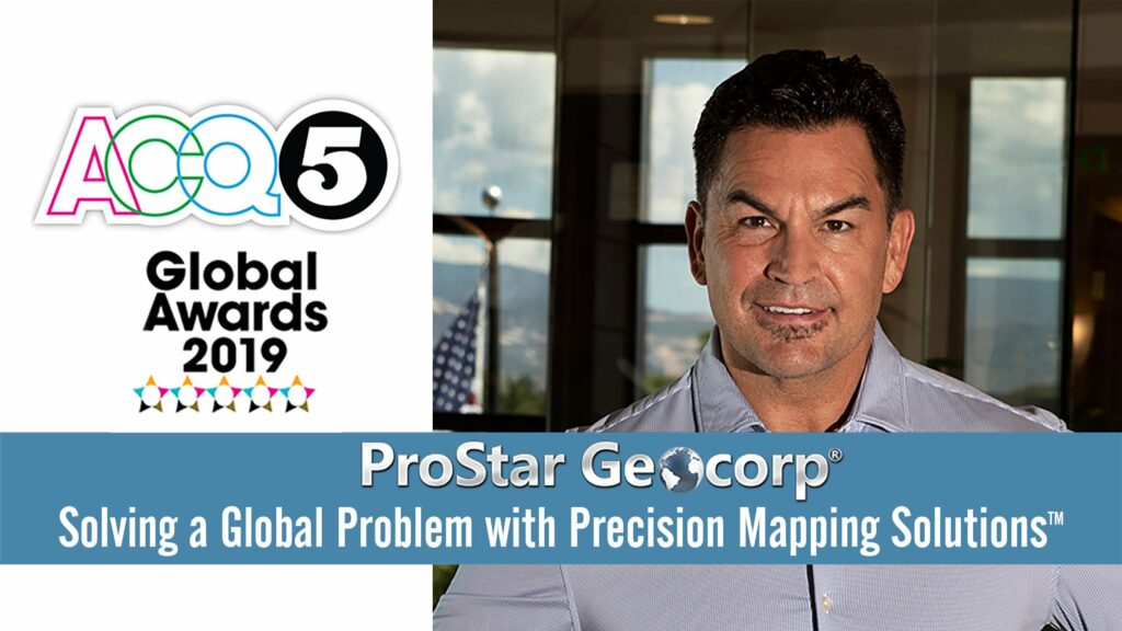
ProStar won Growth Technology Company of the Year for its Geospatial Software Development, Technology Company of the Year and Game Changer of the Year. ProStar is also the featured cover story for the latest publication of ACQ5 Magazine honoring the global winners. Read the full article below.