
ProStar Announces Closing of Merger Transaction

PROSTAR HOLDINGS INC. ANNOUNCES CLOSING OF MERGER TRANSACTION December 29, 2020 Trading January 11, 2021 – TSX Venture Exchange Trading Symbol: MAPS Pursuant to the merger agreement dated May 22, 2019, as amended from time to time between ProStar Holdings Inc. (formerly Doxa Energy Ltd.), ProStar Geocorp Inc. and Doxa Merger Corp., the company completed […]
ProStar Acquires POINTMAN.COM Domain in Settlement

PROSTAR ANNOUNCES IT HAS ACQUIRED THE DOMAIN NAME POINTMAN.COM AS PART OF A TRADEMARK DISPUTE SETTLEMENT ProStar Geocorp announced today that the company has obtained the domain name POINTMAN.COM, as part of a settlement and transfer agreement. The transfer was based on ProStar’s prior trademark rights in the mark POINTMAN®. POINTMAN® is a registered trademark of ProStar’s and the company diligently enforced its trademark […]
DOXA Approval and Proposed Date for ProStar RTO
DOXA ANNOUNCES SHAREHOLDER APPROVAL AND PROPOSED CLOSING DATE FOR PROSTAR RTO TRANSACTION December 17, 2020 TSX Venture Exchange Trading Symbol: DXA.V Doxa Energy Ltd (“Doxa” or the “Company”) announces that further to its press release dated November 20, 2020, and its proposed Reverse Take-Over (RTO) by ProStar Geocorp. Inc. (the “Transaction”), the Company’s shareholders have, […]
ProStar Successfully Completes Integration With Trimble

ProStar Announces the Successful Completion of Integration With Trimble Receivers December 02, 2020 10:00 AM Eastern Standard Time BOULDER, Colo.–(BUSINESS WIRE)–ProStar™, the developer of the patented precision mobile mapping software, PointMan®, announced today that it has successfully completed the integration with Trimble receivers. In July, Trimble (NASDAQ: TRMB) announced it had entered into a business […]
Doxa Energy Files Info Circular for ProStar Merger

DOXA FILES INFORMATION CIRCULAR AND CONFIRMS MEETING DATE FOR PROPOSED REVERSE TAKEOVER BY PROSTAR Further to Doxa Energy Ltd.’s press release dated Oct. 22, 2020, and its proposed acquisition of ProStar Geocorp Inc., “ProStar” the company has received the conditional approval of the TSX Venture Exchange for the transaction and has filed an information circular […]
ProStar CEO Featured in Geospatial World

Infrastructure Spending, Technology Adoption will Revive AEC Industry Geospatial World Interviews Page Tucker, CEO and Founder of ProStar about how the impact of COVID-19 is being felt in both above and below the surface infrastructure. Budgetary cuts, physical distancing and remote communication are among the biggest challenges faced by the AEC industry. However, the slowdown hasn’t […]
ProStar and DOXA Close Oversubscribed Financing

VANCOUVER, British Columbia–(BUSINESS WIRE)–Doxa Energy Ltd (“Doxa” or the “Company”) (TSX Venture Exchange:DXA.V) announces that further to its press release dated October 22, 2020, the Company has completed its non-brokered financing (the “Financing”) of subscription receipts (the “Subscription Receipts”) issuing an aggregate of 14,000,000 Subscription Receipts at a price of $0.40 per Subscription Receipt generating gross […]
New Report Released – 2019 DIRT Report
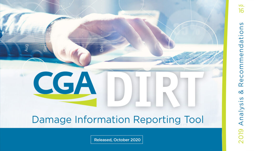
Common Ground Alliance The CGA along with their Data Reporting & Evaluation Committee published the only comprehensive accounting and analysis of damages to buried infrastructure in the U.S. and Canada. The DIRT Annual Report is based on data entered into the Damage Information Reporting Tool (DIRT) for a given year and is published in written […]
ProStar Hires Jess Lyman as New VP of Sales

GRAND JUNCTION, Colo.–(BUSINESS WIRE)–ProStar announced today that the company has hired Jess Lyman as the company’s Vice President of Sales. Mr. Lyman will be responsible for overseeing the sales of ProStar’s flagship mobile software application PointMan®. Mr. Lyman’s responsibilities will be to utilize his expertise to increase market awareness and sales growth across all the […]
Upcoming Horseman in the Subsurface Utility Mapping
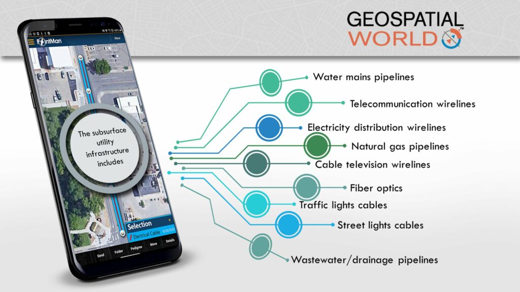
By Pulkit Chaudhary Daily tons of utility location data is produced all across the globe but its effective management is among the biggest challenge that stakeholders continue to face. “In the United States and throughout the world, government agencies are looking for a system that can serve as a centralized database which can take all of […]