
2022 DIRT Report
Common Ground Alliance CGA and its Data Reporting & Evaluation Committee uses the data submitted to DIRT to produce DIRT Annual Reports, on-line interactive dashboards, and supplemental reports and tools providing a comprehensive accounting and analysis of excavation-related damages (and near miss events) to buried infrastructure in the U.S. and Canada. Click here to access […]
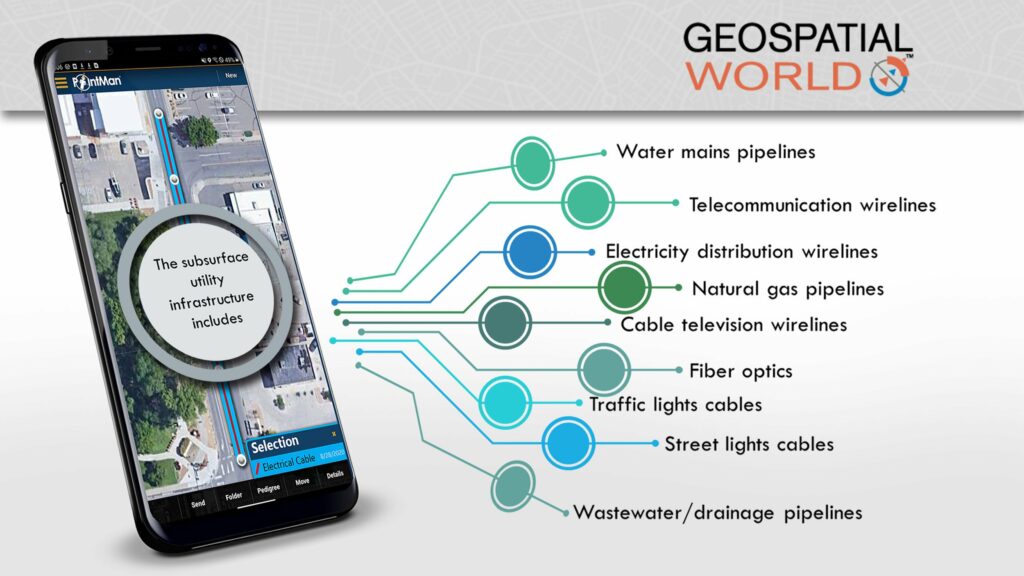
ProStar CEO Featured in Geospatial World

Infrastructure Spending, Technology Adoption will Revive AEC Industry Geospatial World Interviews Page Tucker, CEO and Founder of ProStar about how the impact of COVID-19 is being felt in both above and below the surface infrastructure. Budgetary cuts, physical distancing and remote communication are among the biggest challenges faced by the AEC industry. However, the slowdown hasn’t […]
New Report Released – 2019 DIRT Report
Common Ground Alliance The CGA along with their Data Reporting & Evaluation Committee published the only comprehensive accounting and analysis of damages to buried infrastructure in the U.S. and Canada. The DIRT Annual Report is based on data entered into the Damage Information Reporting Tool (DIRT) for a given year and is published in written […]
Upcoming Horseman in the Subsurface Utility Mapping
By Pulkit Chaudhary Daily tons of utility location data is produced all across the globe but its effective management is among the biggest challenge that stakeholders continue to face. “In the United States and throughout the world, government agencies are looking for a system that can serve as a centralized database which can take all of […]
ProStar CEO Presents at Mapping the Underground Event
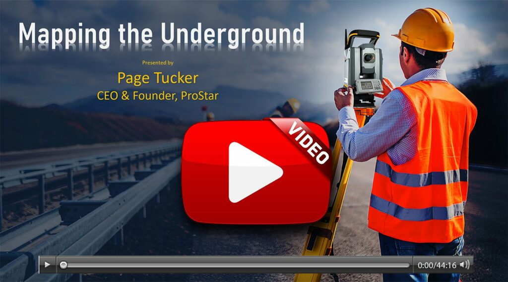
In his encore presentation for ConnectMii’s Mapping the Underground event, Page Tucker, CEO, ProStar, discusses how the vast network of roads, highways, and bridges that spans our nation is aging and in serious need of replacement and expansion. In the United States alone, approximately 2.5 million miles of paved roads and highways are relied on […]
CDOT Shares Their Success Story
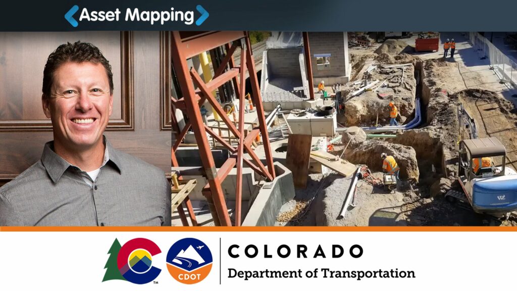
Rob Martindale, PLS – Utilities Program Manager, Colorado Department of Transportation (CDOT), discusses how C.R.S. 9-1.5-101 (811 Law) impacts management of utility data, including 5G facilities, within State Highway Right-of-Ways. In particular, he discusses how permitted utilities are leveraging a new cloud and mobile utility mapping system and how it enables CDOT to efficiently gather […]
ProStar’s CEO Presents at Asset Mapping Exchange
Page Tucker, CEO, ProStar, discusses how the vast network of roads, highways, and bridges that spans our nation is aging and in serious need of replacement and expansion. In the United States alone, approximately 2.5 million miles of paved roads and highways are relied on daily to support the nation’s commerce and commuting demands. What […]
The Next Generation in Utility Mapping

Trimble and ProStar have partnered to make a new utility mapping solution. Trimble provides industry-leading GPS/GNSS solutions that meet a wide variety of data collection requirements and project needs while ProStar offers the cloud and mobile data collection application that pairs seamlessly with Trimble tools. Read the full Trimble white paper about how two DOTs […]